News / May 29, 2026
A real wreck in Area 51 country: the 1977 F-4E crash near The Seeps
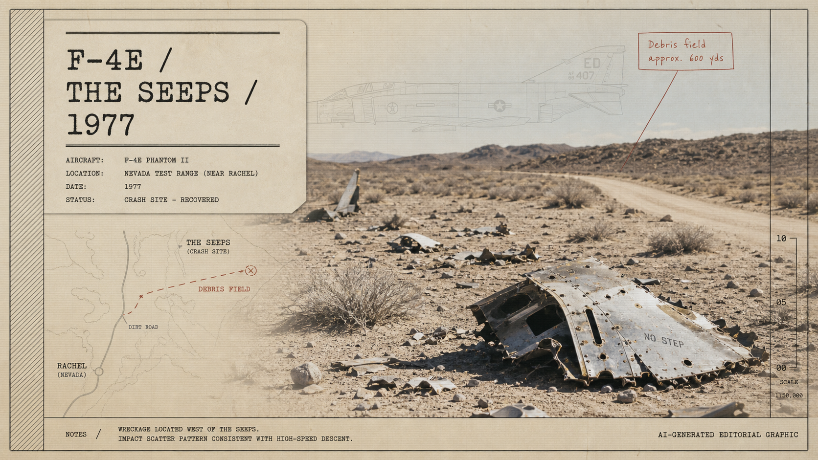
North of Rachel, pieces of a 1977 F-4E Phantom are still scattered across the desert: a hard, physical trace of Red Flag training in Area 51 country.
The short version
North of Rachel, Nevada, near a spring called The Seeps, pieces of a U.S. Air Force F-4E Phantom II still lie in the desert.
A Dreamland Resort field video walks the site with aviation historian Peter Merlin. The camera moves from engine sections to wing fragments, tubing, access panels, old camouflage paint, and small flashes of metal spread across the scrub.
The accident record points to September 2, 1977: Red Flag 77-9, Nellis Air Force Base, a two-ship Blue Force flight, and an F-15 aggressor attack that the Phantom did not survive.
The debris field
The site is close to a dirt road, but the wreckage is not gathered in one place. It runs across rises, washes, and low desert ground. Arnu points back toward the road and the parked vehicle more than once because distance is the thing the video keeps revealing.
A large engine section sits in one place. Another heavy piece lies farther out. Smaller fragments catch the sun. A wing section carries right-wing access-panel markings. One piece still shows the old Vietnam-era camouflage paint: brown, green, and a pale underside.
Merlin's line in the video is blunt and accurate enough for the scene: the aircraft was "disassembled with extreme mechanical force."
The exact location is not published in the video. That restraint matters. Crash sites are not souvenir fields.
What the record says
The Aviation Safety Network Wikibase entry lists the aircraft as McDonnell Douglas F-4E Phantom II serial 68-0518, operated by the 33rd Tactical Fighter Wing. The entry places the crash near The Seeps, about 12 miles northeast of Rachel, Nevada.
The same entry says the aircraft was flying from Nellis Air Force Base during Exercise Red Flag 77-9. It describes the Phantom as the lead aircraft in a two-ship Blue Force flight. During an attempt to defeat a stern gun attack by an F-15 aggressor, the aircraft impacted the ground at a 25-degree nose-down angle at 310 knots indicated airspeed.
The pilot, Captain David W. Sanden, and weapons systems officer, 1st Lieutenant James I. Lewis III, were killed.
Those details put the scattered metal into a specific military world: Nellis, Red Flag, aggressor tactics, low desert terrain, and a fast jet working inside a range system built for hard practice.
Area 51 country, without the shortcut
Rachel sits inside a strange public geography. To the west and south are restricted ranges, Groom Lake, old viewpoints, closed viewpoints, dry lakebeds, dirt roads, warning signs, and long empty approaches where distance does half the security work.
The Seeps site belongs to that geography. It is not Groom Lake, and it is not a tourist overlook. But it sits in the same wider range landscape that made Rachel, Tikaboo Peak, Dreamland Resort, the Extraterrestrial Highway, and Reveille Peak part of the public Area 51 map.
That map is often flattened into folklore. The crash site gives it weight again. Aircraft trained here. Aircraft failed here. Some of the evidence is still physical enough to cast a shadow.
Why the geography matters
Area 51 stories usually start at the fence. The more interesting map starts earlier: Highway 375, Rachel, the dry basins, the low passes, the military operating areas, the public land around them, and the routes aircraft used to enter the range.
Red Flag was created to make combat training more realistic after the lessons of Vietnam. By 1977, that realism was already being practiced in Nevada with aggressor aircraft, high speed, low terrain, and pilots pushing machines through hard scenarios.
The crash near The Seeps is one of those places where the abstract range becomes literal. On a map, it is a point north of Rachel. On the ground, it is a long debris field in desert light.
Notes on sources and access
- Dreamland Resort has older photos of the site. They should be viewed at the source, not copied here without permission.
- Aviation Safety Network's Wikibase entry is user-contributed. Accident details should be cited with that limitation in mind.
- The video does not publish exact coordinates, and this article does not add them.
- The site should be treated as a crash location, not a collecting spot.
Sources
- Dreamland Resort: "Exploring an aircraft crash site near AREA 51 with Aviation Historian Peter Merlin", published December 24, 2025.
- Dreamland Resort: F-4E crash site from 1977 near The Seeps
- Aviation Safety Network Wikibase: Accident McDonnell Douglas F-4E Phantom II 68-0518, September 2, 1977
- Nellis AFB: 414th Combat Training Squadron / Red Flag fact sheet